


The viDoc® is a handheld RTK GNSS rover and 3D scanner that clips onto your phone to collect survey-grade data in real time. The result? Faster, more accurate site data.
It’s built for professionals who need precision on the move – without bulky setups or delays. Whether you’re capturing measurements for BIM models or detailed images for site surveys, the viDoc® gives you centimetre-level accuracy and detailed 3D models in one streamlined process.
In this blog, we’ll explain what GNSS is, how accurate it can be, what 3D scanning involves, and how tools like the viDoc are changing the way fieldwork gets done.
Key Takeaways
- What is GNSS?
- How accurate is GNSS and the viDoc?
- What is a 3D scanner?
- The viDoc® 3D scanner
- How does a 3D laser scanner work?
- Are 3D scanners worth it?
- Want to streamline your next project?
What is GNSS?
GNSS stands for Global Navigation Satellite System. It’s what powers the sat nav in your car, helps your phone map your location, and lets surveyors pinpoint exact coordinates on a job site.
How accurate is GNSS and the viDoc?
On its own, GNSS (like the GPS in your phone) is usually accurate to within a few metres. That’s fine for everyday use, but not good enough when you need precision for things like utility mapping or construction layout.
The viDoc® uses RTK GNSS (Real-Time Kinematic) – a much more accurate version of standard GPS. Instead of being metres off, RTK GNSS brings that accuracy down to just centimetres, which is vital for construction, civil engineering, and asset documentation.
It’s been certified by Bureau Veritas, meaning it meets Class A precision standards. You get survey-grade results without the need for a traditional GNSS base station or tripod.
What is a 3D scanner?
A 3D scanner is a device that records the shape, dimensions, and surface details of real-world objects or spaces. Hire 3d scanner from from 2 Rent to turn your smartphone into a survey‑grade capture tool for infrastructure, utilities, and construction sites.
It produces a point cloud – a dense set of points in 3D space reflecting the scanned surfaces.
Different types exist, including tripod-mounted laser scanners and photogrammetry-based systems. Traditional scanners tend to be expensive and too large for easy handling, while more recent options use cameras and sensors for greater flexibility.
The viDoc 3D scanner
The viDoc®, developed by vigram®, combines these approaches. It attaches to a smartphone and uses the phone’s camera for image capture, while its built-in front and ground lasers allow for single-point measurements. Coupled with RTK GNSS it guarantees every scan is georeferenced with survey-grade precision (up to ±1 cm + 1 ppm)
Users collect image scans and laser point data using the SCIN app for IOS or other compatible software. This captured data can then be used to generate 3D reconstructions of environments or structures – great for infrastructure documentation, as-built models, BIM workflows, and more.
Read more: The viDoc®: Pocket Precision for Your Jobsite
How does a 3D laser scanner work?
A traditional 3D scanner sends out thousands of light pulses each second. It measures how long they take to bounce back, then calculates the distance travelled to build a 3D map known as a point cloud.
The viDoc® captures a number of overlapping images (photogrammetry), each georeferenced thanks to the viDoc’s capabilities. RTK services provide a high degree of accuracy, allowing the creation of survey-grade point clouds during post-processing.
Ready to cut survey time and get centimetre-level accuracy on site? Buy or rent the viDoc® today and start capturing data faster than ever before.
Are 3D scanners worth it?
If you need accurate site data, 3D scanners are absolutely worth it. They speed up data collection, reduce errors, and give you a clear digital record of what’s on the ground – whether you’re measuring for construction, recording existing infrastructure, or tracking changes over time.
That said, traditional 3D scanners come with drawbacks: they’re often bulky, expensive, and require specialist training. That’s where tools like the viDoc offer a real advantage.
With the viDoc®, you get the core benefits of 3D scanning – precise, georeferenced models – without the complexity or cost of larger systems. It’s compact, clips onto a smartphone, and is designed to be used directly in the field by engineers, surveyors, and site managers. Because it combines RTK GNSS scanning and image capture with laser point measurement capabilities, it replaces multiple tools in one streamlined setup.
Want to streamline your next project?
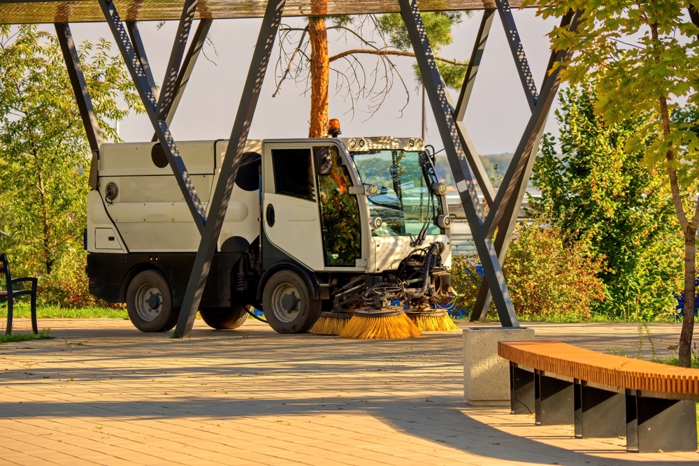
If you’re still relying on traditional surveying gear or slow manual methods, it’s time to rethink your setup and pair modern tools like viDoc with Road Sweeper Hire to keep access routes clear and safe while you capture accurate site data.
The viDoc® gives you reliable data straight from the site – no bulky equipment, no delays, and no compromise on precision.
Whether you’re working in construction, surveying, infrastructure, or utilities, the viDoc helps you move faster, cut down on repeat visits, and capture the data you need in one go, combine it with Traffic Management Vehicle Hire from 2 Rent to keep survey crews safe on highways and live roads.
Rent or buy the viDoc® from 2 Rent today and start working smarter on your next project.
BIM (Building Information Modeling) scanners typically cost between £5,000 and £40,000 to purchase, depending on the brand, features, and specifications. Prices can vary based on the scanner’s capabilities, such as its resolution, scanning range, and integration with other software.
- Photogrammetry is typically significantly more affordable than a full 3D laser scanner, both in terms of outlay and operational costs.
- Photogrammetry allows for the production of colour-rich 3D models and dense point clouds. 3D scanners traditionally produce point clouds alone.
- Photogrammetry setup and capture using the viDoc is end-user friendly, allowing the whole team to be involved in data capture. 3D scanning equipment often requires specialised training and setup techniques.
The cost of a 3D scan depends on several factors, including the project’s size, complexity, and location. On average, 3D scans can range from £300 to £3,000 or more. Smaller projects might cost less, while large, complex scans can reach higher prices.
Latest News

How much does cherry picker hire cost in the UK? (2026 price guide)
Read more
Daily vs weekly cherry picker hire: Which is better?
Read more

5 ways traffic management vehicles improve site efficiency
Read more
10 reasons businesses choose road sweeper hire for their projects
Read more
GNSS meets 3D scanner: A look inside the viDoc®
Read more
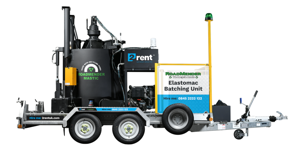
How to repair potholes: Streamlining fixes with Elastomac
Read more
The top 5 applications for Ground Penetrating Radar (GPR)
Read more
What is a Ground Penetrating Radar (GPR)?
Read more
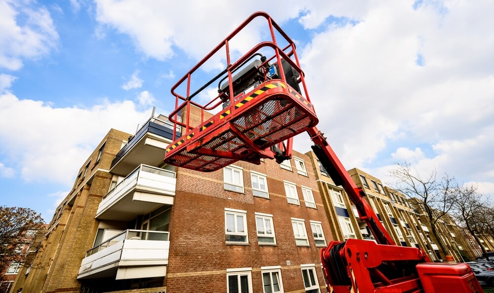
Self-drive vs. operated cherry picker hire: Which one is right for you?
Read more
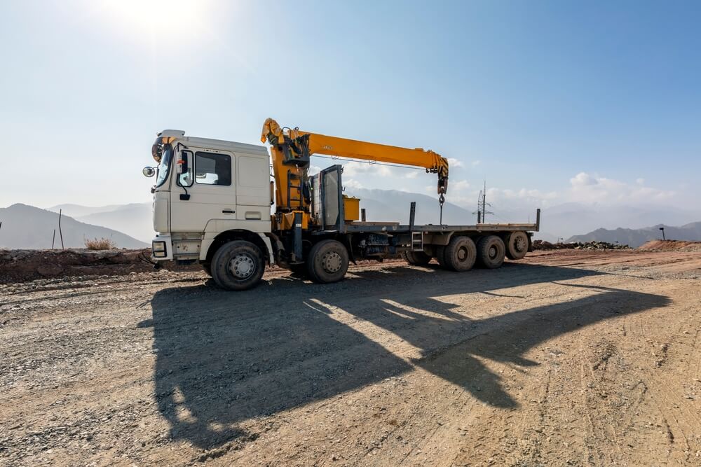
How crane truck hire can save you time and money on your next project
Read more